West Roxbury is a neighborhood in Boston, Massachusetts bordered by Roslindale to the northeast, the village of Chestnut Hill and the town of Brookline to the north, the city of Newton to the northwest, the towns of Dedham and Needham to the southwest, and Hyde Park to the southeast. West Roxbury is often mistakenly confused with Roxbury, but the two are separated from each other by Roslindale and Jamaica Plain.
Before 1630, the area was inhabited by the Wampanoag Indian Tribe.
Founded in 1630 (contemporaneously with Boston), West Roxbury was originally part of the town of Roxbury and was mainly used as farmland. West Roxbury seceded from Roxbury in 1851, and was annexed by Boston in 1874. The town included the neighborhoods of Jamaica Plain and Roslindale.
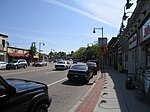
West Roxbury's main commercial thoroughfare is Centre Street. West Roxbury Main Streets is a local non-profit that works to enhance and promote the business district. The neighborhood has some two-family houses but mostly single family homes; many of Boston's civil servants live there.
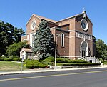
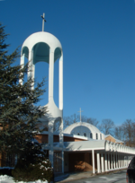
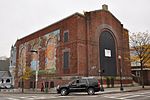
West Roxbury is home to District E-5 of the Boston Police Department, Boston Emergency Medical Services Ambulance 5 that posts at the intersection of West Roxbury Parkway at Centre St and Paramedic 5 stationed at the Faulkner Hospital provide EMS service, and there are two Boston fire stations, Ladder 25 & Engine 30 on Centre Street and Engine 55 on Washington Street. The Needham Branch of the MBTA Commuter Rail network has three stations in West Roxbury (Bellevue, Highland and West Roxbury). Several MBTA bus lines run through and/or terminate in West Roxbury. A large Veterans Affairs hospital is located opposite the Charles River on the VFW Parkway near the Dedham line. West Roxbury is home to several places of worship, including three Catholic parishes, churches of various Protestant denominations, and a Jewish synagogue.
The neighborhood was home to an experimental transcendentalist Utopian community called Brook Farm, which attracted notable figures including Margaret Fuller and Nathaniel Hawthorne, whose 1852 novel The Blithedale Romance is based on his stay there.Like its neighboring communities, West Roxbury's residential development grew with the construction of the West Roxbury branch of the Boston and Providence Railroad; the area grew further with the development of electric streetcars.


