Worplesdon
Borough of GuildfordCivil parishes in SurreyUse British English from July 2016Villages in Surrey

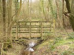
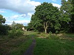
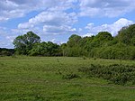
Worplesdon is a village 3.1 miles (5.0 km) NNW of Guildford in Surrey, England and a large dispersed civil parish that includes the settlements of: Worplesdon itself (including its central church area, Perry Hill), Fairlands, Jacobs Well, Rydeshill and Wood Street Village, all various-sized smaller settlements, well-connected by footpaths and local roads. Its area includes Whitmoor Common, which can be a collective term for all of its commons.
Excerpt from the Wikipedia article Worplesdon (License: CC BY-SA 3.0, Authors, Images).Worplesdon
Coombe Lane,
Geographical coordinates (GPS) Address Nearby Places Show on map
Geographical coordinates (GPS)
| Latitude | Longitude |
|---|---|
| N 51.272 ° | E -0.612 ° |
Address
Coombe Lane
Coombe Lane
GU3 3PF , Worplesdon
England, United Kingdom
Open on Google Maps


