Puster Valley
Districts of South TyrolPages with Italian IPAValleys of South Tyrol

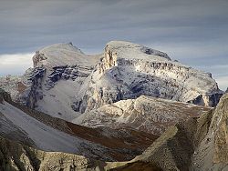
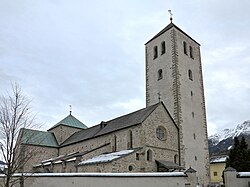
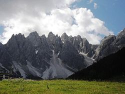
The Puster Valley (Italian: Val Pusteria [ˈval pusteˈriːa]; German: Pustertal, Ladin: Val de Puster) is one of the largest longitudinal valleys in the Alps that runs in an east-west direction between Lienz in East Tyrol, Austria, and Mühlbach near Brixen in South Tyrol, Italy. The South Tyrolean municipalities of the Puster Valley constitute the Puster Valley district.
Excerpt from the Wikipedia article Puster Valley (License: CC BY-SA 3.0, Authors, Images).Puster Valley
Graf-Künigl-Straße - Via Conti Künigl, Pustertal - Val Pusteria
Geographical coordinates (GPS) Address Nearby Places Show on map
Geographical coordinates (GPS)
| Latitude | Longitude |
|---|---|
| N 46.733333333333 ° | E 12.216666666667 ° |
Address
Graf-Künigl-Straße - Via Conti Künigl
Graf-Künigl-Straße - Via Conti Künigl
39034 Pustertal - Val Pusteria
Trentino – Alto Adige/Südtirol, Italy
Open on Google Maps


