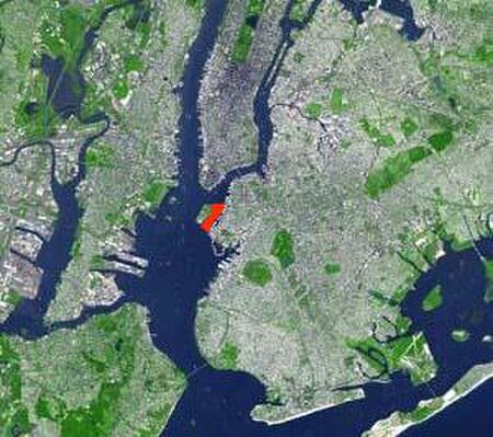
Buttermilk Channel
Port of New York and New JerseyStraits of Kings County, New YorkStraits of New York County, New York

Buttermilk Channel is a small tidal strait in Upper New York Bay in New York City, approximately 1 mile (1.6 km) long and 0.25 miles (0.40 km) wide, separating Governors Island from Brooklyn. The channel is marked by a number of navigation aids (green cans no. 5 and 7 at the northeast entrance, and green gong no. 1, marking low water off the tip of Governors Island). Tidal currents on the channel are rather strong.
Excerpt from the Wikipedia article Buttermilk Channel (License: CC BY-SA 3.0, Authors, Images).Buttermilk Channel
Craig Road South, New York Manhattan
Geographical coordinates (GPS) Address Nearby Places Show on map
Geographical coordinates (GPS)
| Latitude | Longitude |
|---|---|
| N 40.685 ° | E -74.015 ° |
Address
Yankee Pier
Craig Road South
10004 New York, Manhattan
New York, United States
Open on Google Maps


