Portslade
Areas of Brighton and HoveBeaches of West SussexCommons link is defined as the pagenameConservation areas in EnglandEngvarB from October 2013 ... and 1 more
Populated coastal places in East Sussex

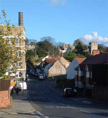
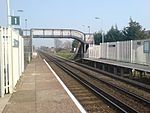
Portslade is a western suburb of the city of Brighton and Hove, England. Portslade Village, the original settlement a mile inland to the north, was built up in the 16th century. The arrival of the railway from Brighton in 1840 encouraged rapid development of the coastal area and in 1896 the southern part, formerly known as Copperas Gap, was granted urban district status and renamed Portslade-by-Sea, making it distinct from Portslade Village. After World War II the district of Mile Oak to the north was added. Today, Portslade is bisected from east to west by the old A27 road (now the A270) between Brighton and Worthing, each part having a distinct character.
Excerpt from the Wikipedia article Portslade (License: CC BY-SA 3.0, Authors, Images).Portslade
Easthill Drive,
Geographical coordinates (GPS) Address Nearby Places Show on map
Geographical coordinates (GPS)
| Latitude | Longitude |
|---|---|
| N 50.844 ° | E -0.216 ° |
Address
Easthill Drive
Easthill Drive
BN41 2FE , Portslade Village
England, United Kingdom
Open on Google Maps


