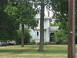
South Newton High School
Education in Newton County, IndianaPublic high schools in Indiana
South Newton High School is a multi-community high school consisting of grades 9-12 located in rural Newton County, between the incorporated towns of Kentland, Brook, and Goodland, Indiana. The Elementary and Middle School facilities are located adjacent to the high school.
Excerpt from the Wikipedia article South Newton High School (License: CC BY-SA 3.0, Authors).South Newton High School
South 50 East,
Geographical coordinates (GPS) Address Website Nearby Places Show on map
 Continue reading on Wikipedia
 Geographical coordinates (GPS)
| Latitude | Longitude |
|---|---|
| N 40.807906 ° | E -87.384334 ° |
Address
South Newton Middle School
South 50 East 13100
47922
Indiana, United States
Open on Google Maps