Long Rhön
East HesseFulda (district)Mountain ranges of BavariaNatural regions of the East Hesse HighlandsRhön-Grabfeld ... and 2 more
Rhön MountainsSchmalkalden-Meiningen
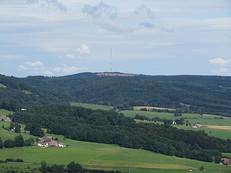
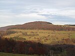
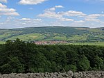
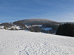
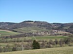
The Long Rhön (German: Lange Rhön) is a ridge in the Central Rhön which forms part of the High Rhön within the Rhön Mountains. The Long Rhön is an elongated basalt plateau in the centre, roughly 800 metres above sea level, which is only occasional interrupted by mountain peaks. Its highest mountain is the Heidelstein (926 m above sea level (NHN)). A majority of the area is part of the Long Rhön Nature Reserve. In this area of the Rhön is the Black Moor.
Excerpt from the Wikipedia article Long Rhön (License: CC BY-SA 3.0, Authors, Images).Long Rhön
Helltaler Weg, Ehrenberg (Rhön)
Geographical coordinates (GPS) Address Nearby Places Show on map
Geographical coordinates (GPS)
| Latitude | Longitude |
|---|---|
| N 50.45861 ° | E 10.00667 ° |
Address
Sendemast Heidelstein (Rhön)
Helltaler Weg
36115 Ehrenberg (Rhön)
Hesse, Germany
Open on Google Maps


