Bavarian Rhön Nature Park
European protected area stubsGermany geography stubsNature parks in BavariaRhön Mountains

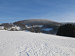
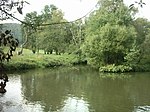
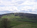
The Bavarian Rhön Nature Park (Naturpark Bayerische Rhön) straddles the junction of the German states of Bavaria, Hesse and Thuringia. 70 km2 of the total 125 km2 area of the nature park has been recognised by UNESCO as part of the Rhön Biosphere Reserve. The organisation for the promotion of the Bavarian Rhön Nature Park (Zweckverband Naturpark Bayerische Rhön) was founded in 1967. On 26 November 1982 the regulation for the Naturpark Bayerische Rhön was issued and, in 1997, the Zweckverband became the Society for the Bavarian Rhön Nature Park and Biosphere Reserve (Naturpark und Biosphärenreservat Bayer. Rhön e.V.).
Excerpt from the Wikipedia article Bavarian Rhön Nature Park (License: CC BY-SA 3.0, Authors, Images).Bavarian Rhön Nature Park
Zum Äfel,
Geographical coordinates (GPS) Address Nearby Places Show on map
Geographical coordinates (GPS)
| Latitude | Longitude |
|---|---|
| N 50.416666666667 ° | E 9.9666666666667 ° |
Address
Quelle
Zum Äfel
97653
Bavaria, Germany
Open on Google Maps


