Marsh Gibbon

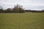
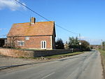
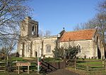
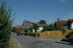
Marsh Gibbon is a village and civil parish in Buckinghamshire, England. It is close to the A41 and the border with Oxfordshire about 4 miles (6.4 km) east of Bicester. In the centre of the village the buildings are largely built of local stone, and roofed in tiles, slate and thatch. Many of which are listed buildings. The centre and east of the village are designated as the Marsh Gibbon Conservation Area, including the Greyhound pub, The Plough, the Manor House and the Church. In the south of the parish, formerly part of the ancient Bernwood Forest, the landscape and habitat has been designated as the Upper Ray Meadows Nature Reserve, while Long Herdon Meadow is a national Site of Special Scientific Interest.
Excerpt from the Wikipedia article Marsh Gibbon (License: CC BY-SA 3.0, Authors, Images).Marsh Gibbon
Castle Street,
Geographical coordinates (GPS) Address Nearby Places Show on map
Geographical coordinates (GPS)
| Latitude | Longitude |
|---|---|
| N 51.9029 ° | E -1.06 ° |
Address
Castle Street
Castle Street
OX27 0HJ
England, United Kingdom
Open on Google Maps


