Segbroek
Boroughs of The HagueSouth Holland geography stubs

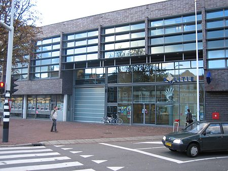
Segbroek (Dutch pronunciation: [ˈsɛxbruk]) is one of eight districts of The Hague in the Netherlands. The district was established by the city in 1988. It has a total area of 7.19 square kilometres (2.78 sq mi) and a population of 60,054 as of January 2013. Segbroek is divided into five neighbourhoods: Bomen- en Bloemenbuurt, Regentessekwartier, Valkenboskwartier, Vogelwijk and Vruchtenbuurt.
Excerpt from the Wikipedia article Segbroek (License: CC BY-SA 3.0, Authors, Images).Segbroek
Sneeuwbalstraat, The Hague Segbroek
Geographical coordinates (GPS) Address Nearby Places Show on map
Geographical coordinates (GPS)
| Latitude | Longitude |
|---|---|
| N 52.077222222222 ° | E 4.2613888888889 ° |
Address
Sneeuwbalstraat 137B
2565 VZ The Hague, Segbroek
South Holland, Netherlands
Open on Google Maps


