place

Markham—Thornhill (federal electoral district)

2013 establishments in OntarioOntario federal electoral districtsPages with disabled graphsPolitics of Markham, OntarioUse mdy dates from November 2021
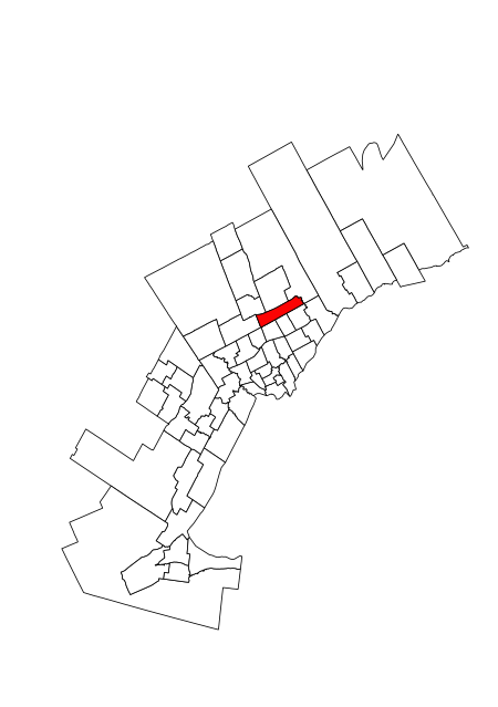
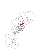
Markham—Thornhill 2015

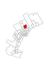
Markham—Thornhill is a federal electoral district in Ontario, Canada, that has been represented in the House of Commons of Canada since 2015. It encompasses a portion of Ontario previously included in the electoral districts of Markham—Unionville and Thornhill.Markham—Thornhill was created by 2012 federal electoral boundaries redistribution and was legally defined in the 2013 representation order. It came into effect upon the dropping of the writs for the 2015 federal election.

Excerpt from the Wikipedia article Markham—Thornhill (federal electoral district) (License: CC BY-SA 3.0, Authors, Images).

Markham—Thornhill (federal electoral district)
Denison Street, Markham

Geographical coordinates (GPS) Address Nearby Places
placeShow on map

Wikipedia: Markham—Thornhill (federal electoral district)Continue reading on Wikipedia

Geographical coordinates (GPS)

Latitude Longitude
N 43.835 ° E -79.313 °
placeShow on map

Address

Denison Street
L3R 0V3 Markham
Ontario, Canada
mapOpen on Google Maps

Markham—Thornhill 2015
Share experience

Nearby Places

Hagerman's Corners, Ontario

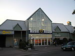
Hagerman's Corners is a dispersed rural community in Markham, Ontario, Canada. Located at 14th Avenue and Kennedy Road, the former farm lands have disappeared and given way to homes and commercial parks. It is geographically located between the communities of Milliken Mills and Unionville, within the city of Markham. Hagerman's Corners was founded in 1803 by Nicholas Hagerman, who owned the property at the NW corner of the intersection. By 1878 the village had a hotel (Bee Hive Hotel) and tavern, a general store and post office (1873), and a wagon maker. In 1849, a Wesleyan Methodist church was built on a private Hagerman family burying ground; the wood-frame church was replaced by a brick building in 1874. While the church was torn down in the 1920s, the cemetery on the east side of Kennedy Road (on James Fairless' farm), north of 14th Avenue remains with former Presbyterian church demolished. A few historical homes still exist and have been revitalized in an attempt to beautify the area. Today, the west side of Kennedy Road is home to a new public housing project for the city of Markham. Two small strip malls with mostly Chinese stores are located on the southwest corner of 14th Avenue and Kennedy Road. One of the shopping areas houses the First Choice Supermarket, a Chinese-based supermarket (formerly Big Land Farm) and Tim Hortons; the other is home to various Asian restaurants. Hagerman Mennonite Church has met in the village since 1932.