Loenersloot
Former municipalities of Utrecht (province)Pages with non-numeric formatnum argumentsPopulated places in Utrecht (province)Stichtse Vecht

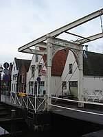
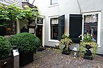
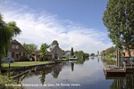
Loenersloot is a village in the Dutch province of Utrecht. It was a part of the former municipality of Loenen. Since 2011 it has made part of the new formed municipality of Stichtse Vecht. It lies about 12 km west of Hilversum. It is located on the Angstel River. Loenersloot used to be a separate municipality. In 1964, it merged with the neighbouring municipality of Loenen. Castle Loenersloot is located in the village.
Excerpt from the Wikipedia article Loenersloot (License: CC BY-SA 3.0, Authors, Images).Loenersloot
Hollandstraat, Stichtse Vecht
Geographical coordinates (GPS) Address Nearby Places Show on map
Geographical coordinates (GPS)
| Latitude | Longitude |
|---|---|
| N 52.229722222222 ° | E 5.0013888888889 ° |
Address
Hollandstraat
3634 AS Stichtse Vecht
Utrecht, Netherlands
Open on Google Maps


