Deptford Wharf
Buildings and structures in the London Borough of LewishamDeptfordHistory of the London Borough of LewishamIndustrial railways in EnglandLondon docks ... and 11 more
Military history of LondonPort of LondonPorts and harbours of the Thames EstuaryRail transport in LondonRedeveloped ports and waterfronts in LondonRedevelopment projects in LondonRoyal Navy dockyards in EnglandShipbuilding in LondonShips built in DeptfordShipyards on the River ThamesUse British English from November 2017

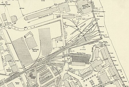
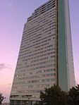
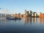
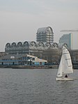
Deptford Wharf in London, UK is situated on the Thames Path southeast of South Dock Marina, across the culverted mouth of the Earl's Sluice and north of Aragon Tower. In the late 18th and early 19th century this area was used for shipbuilding with several building slips. With the coming of the railway in 1848 Deptford wharf and docks were used to import coal and for other goods. The housing here, completed in 1992, is on the site of former railway sidings and riverside wharves.
Excerpt from the Wikipedia article Deptford Wharf (License: CC BY-SA 3.0, Authors, Images).Deptford Wharf
Deptford Wharf, London
Geographical coordinates (GPS) Address Nearby Places Show on map
Geographical coordinates (GPS)
| Latitude | Longitude |
|---|---|
| N 51.491769 ° | E -0.031789 ° |
Address
Circumsphere
Deptford Wharf
SE8 3PA London (London Borough of Lewisham)
England, United Kingdom
Open on Google Maps


