Buckland, Hertfordshire
Civil parishes in HertfordshireEast Hertfordshire DistrictHertfordshire geography stubsVillages in Hertfordshire

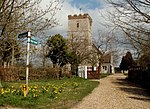
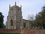
Buckland is a village and civil parish in the East Hertfordshire district of Hertfordshire, England. The village is situated on the A10 road, with the market town of Royston situated 41⁄2 miles north and Buntingford 3 miles south. According to the 2011 census, the parish of Buckland, including the hamlet of Chipping has a population of 274.
Excerpt from the Wikipedia article Buckland, Hertfordshire (License: CC BY-SA 3.0, Authors, Images).Buckland, Hertfordshire
Daw's Lane, East Hertfordshire Buckland
Geographical coordinates (GPS) Address Nearby Places Show on map
Geographical coordinates (GPS)
| Latitude | Longitude |
|---|---|
| N 51.9833 ° | E -0.02 ° |
Address
Daw's Lane
Daw's Lane
SG9 0PT East Hertfordshire, Buckland
England, United Kingdom
Open on Google Maps


