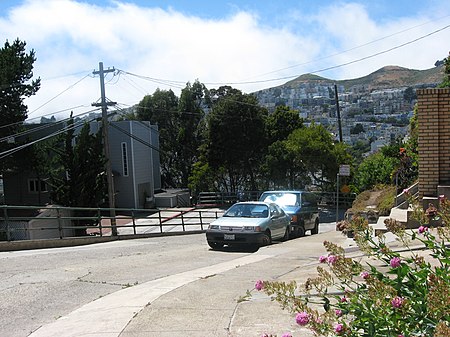
22nd Street (San Francisco)
California road stubsMission District, San FranciscoPotrero Hill, San FranciscoSan Francisco geography stubsStreets in San Francisco

22nd Street is an east–west street passing through the Noe Valley, Mission, and Potrero Hill districts of San Francisco, California. The street is discontinuous and exists in several sections: the main western section between Hoffman Avenue and the Bayshore Freeway, a segment from Vermont Street to Wisconsin Street, a short alley off of Missouri Street, and an eastern section from Texas Street to Pier 70. Below the elevated Interstate 280 and at-grade eastern section lies 22nd Street station, Caltrain's only station beneath ground level.
Excerpt from the Wikipedia article 22nd Street (San Francisco) (License: CC BY-SA 3.0, Authors, Images).22nd Street (San Francisco)
Church Street, San Francisco
Geographical coordinates (GPS) Address Nearby Places Show on map
Geographical coordinates (GPS)
| Latitude | Longitude |
|---|---|
| N 37.754782 ° | E -122.427703 ° |
Address
Church Street & 22nd Street
Church Street
94114 San Francisco
California, United States
Open on Google Maps


