Wierickerschans
Forts in the Netherlands

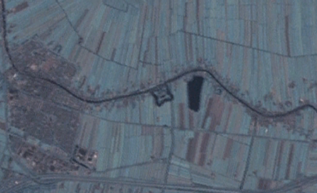
The Wierickerschans Fort is a part of the Old Dutch Waterline or "Oude Hollandse Waterlinie". This was a defence system that allowed large parts of the country (Holland) to be flooded (inundated). Thus protecting the main towns and city in the West against invading forces from the East. It was in use right up to the 19th century. The Fort was built on the site where in 1672 Stadtholder Willem III (William of Orange, who later became King of England) had his headquarters during the war against the French. The Fort is centrally located within the Old Dutch Waterline that stretched from Muiden down to the Biesbosch.
Excerpt from the Wikipedia article Wierickerschans (License: CC BY-SA 3.0, Authors, Images).Wierickerschans
Zuidzijde, Bodegraven-Reeuwijk
Geographical coordinates (GPS) Address Website External links Nearby Places Show on map
Geographical coordinates (GPS)
| Latitude | Longitude |
|---|---|
| N 52.081666666667 ° | E 4.7833333333333 ° |
Address
Fort Wierickerschans
Zuidzijde
2411 RG Bodegraven-Reeuwijk
South Holland, Netherlands
Open on Google Maps


