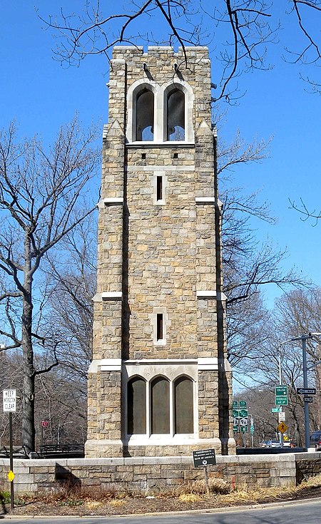
Riverdale, Bronx

Riverdale is a residential neighborhood in the northwestern portion of the New York City borough of the Bronx. Riverdale, which had a population of 47,850 as of the 2000 United States Census, contains the city's northernmost point, at the College of Mount Saint Vincent. Riverdale's boundaries are disputed, but it is commonly agreed to be bordered by Yonkers to the north, Van Cortlandt Park and Broadway to the east, the Kingsbridge neighborhood to the southeast, either the Harlem River or the Spuyten Duyvil neighborhood to the south, and the Hudson River to the west. Riverdale Avenue is the primary north–south thoroughfare through Riverdale.The neighborhood is part of Bronx Community District 8, and its ZIP Codes include 10463 and 10471. The area is patrolled by the 50th Precinct of the New York City Police Department.
Excerpt from the Wikipedia article Riverdale, Bronx (License: CC BY-SA 3.0, Authors, Images).Riverdale, Bronx
Hadley Avenue, New York The Bronx
Geographical coordinates (GPS) Address Nearby Places Show on map
Geographical coordinates (GPS)
| Latitude | Longitude |
|---|---|
| N 40.894 ° | E -73.913 ° |
Address
Hadley Avenue 4650
10471 New York, The Bronx
New York, United States
Open on Google Maps


