Municipal Borough of Leyton
Districts of England created by the Local Government Act 1894History of local government in London (1889–1965)History of the London Borough of Waltham ForestLeyton

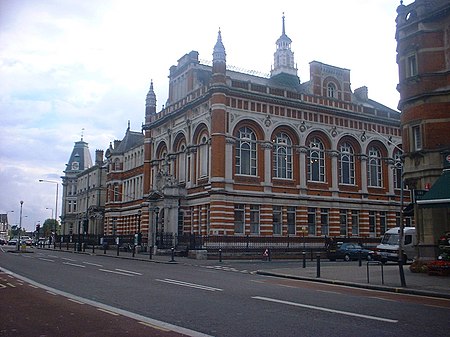
Leyton was a local government district in southwest Essex, England, from 1873 to 1965. It included the neighbourhoods of Leyton, Leytonstone and Cann Hall. It was suburban to London, forming part of the London postal district and Metropolitan Police District. It now forms the southernmost part of the London Borough of Waltham Forest in Greater London.
Excerpt from the Wikipedia article Municipal Borough of Leyton (License: CC BY-SA 3.0, Authors, Images).Municipal Borough of Leyton
Morris Road, London Wanstead Slip (London Borough of Waltham Forest)
Geographical coordinates (GPS) Address Nearby Places Show on map
Geographical coordinates (GPS)
| Latitude | Longitude |
|---|---|
| N 51.557777777778 ° | E 0.0016666666666667 ° |
Address
Morris Road 48
E15 2BF London, Wanstead Slip (London Borough of Waltham Forest)
England, United Kingdom
Open on Google Maps


