Radnor Walk
London road stubsStreets in the Royal Borough of Kensington and ChelseaUse British English from June 2015

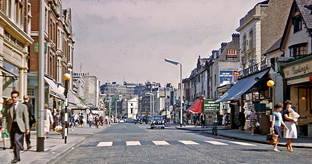
Radnor Walk is a residential street in the Royal Borough of Kensington & Chelsea off the King's Road in London. The houses are mid and late Victorian and the street is part of the Royal Hospital Conservation Area. It was originally called Radnor Street, and was named after John Robartes, 1st Earl of Radnor who died in Chelsea in 1685. It was renamed Radnor Walk in 1937.It runs parallel to Shawfield Street and Smith Street.
Excerpt from the Wikipedia article Radnor Walk (License: CC BY-SA 3.0, Authors, Images).Radnor Walk
Radnor Walk, London Chelsea (Royal Borough of Kensington and Chelsea)
Geographical coordinates (GPS) Address Nearby Places Show on map
Geographical coordinates (GPS)
| Latitude | Longitude |
|---|---|
| N 51.4878 ° | E -0.1652 ° |
Address
Radnor Walk 28
SW3 4PL London, Chelsea (Royal Borough of Kensington and Chelsea)
England, United Kingdom
Open on Google Maps


