Thurlow Park (ward)
Wards of the London Borough of Lambeth

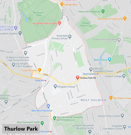
Thurlow Park ward is an administrative division of the London Borough of Lambeth, England. It is located in the constituency of Dulwich and West Norwood.It is located towards the South of the borough containing parts of Herne Hill, Tulse Hill (including the Tulse Hill railway station), and West Norwood. It is bordered in the north by Brockwell Park. The population of the ward at the 2011 Census was 13,641.
Excerpt from the Wikipedia article Thurlow Park (ward) (License: CC BY-SA 3.0, Authors, Images).Thurlow Park (ward)
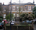
Lovelace Road, London Tulse Hill (London Borough of Lambeth)
Geographical coordinates (GPS) Address Nearby Places Show on map
Geographical coordinates (GPS)
| Latitude | Longitude |
|---|---|
| N 51.441 ° | E -0.099 ° |
Address
Lovelace Road
Lovelace Road
SE21 8JR London, Tulse Hill (London Borough of Lambeth)
England, United Kingdom
Open on Google Maps


