Smogornia
Czech Republic–Poland borderInternational mountains of EuropeMountains and hills of the Czech RepublicMountains of Poland

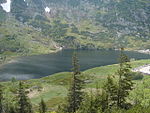
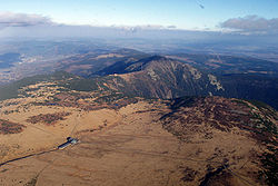
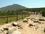
Smogornia (Czech: Stříbrný hřbet, German: Mittagsberg; 1,489 metres (4,885 ft) a.s.l.) is a peak in the Giant Mountains on the Czech-Polish border. It is situated in the eastern part of the main range. The peak is not accessible; the main Sudetes trail and Polish–Czech Friendship Trail traverses the mountain c. 300 m north from the peak. On the northern slope of the mountain there is a glacial cirque. The mountain has mild slopes, mostly deforested, covered in mountain pine.
Excerpt from the Wikipedia article Smogornia (License: CC BY-SA 3.0, Authors, Images).Smogornia
Droga Chomontowa, gmina Podgórzyn
Geographical coordinates (GPS) Address Nearby Places Show on map
Geographical coordinates (GPS)
| Latitude | Longitude |
|---|---|
| N 50.771388888889 ° | E 15.683333333333 ° |
Address
Droga Chomontowa
58-564 gmina Podgórzyn
Lower Silesian Voivodeship, Poland
Open on Google Maps


