Châteauneuf-Grasse
Alpes-Maritimes geography stubsCommunes of Alpes-MaritimesPages with French IPA

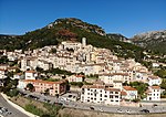
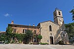
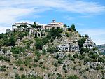
Châteauneuf-Grasse (French: [ʃɑtonœf ɡʁas]; Occitan: Castèunòu de Grassa), alternatively known as names are Châteauneuf de Grasse or simply Châteauneuf, is a commune in the Alpes-Maritimes department in the Provence-Alpes-Côte d'Azur region in Southeastern France. Châteauneuf-Grasse is situated on the French Riviera, just over 4 km (2.4 mi) from Grasse and 21 km (13 mi) from Cannes; it borders the villages of Plascassier and Opio. It extends across 895 hectares (2,211 acres) and has a population of over 3,600 inhabitants. It is divided into two districts: Pré-du-Lac (where most of the commerce is found) and Le Vignal.
Excerpt from the Wikipedia article Châteauneuf-Grasse (License: CC BY-SA 3.0, Authors, Images).Châteauneuf-Grasse
Route d'Opio, Grasse
Geographical coordinates (GPS) Address Nearby Places Show on map
Geographical coordinates (GPS)
| Latitude | Longitude |
|---|---|
| N 43.6758 ° | E 6.9756 ° |
Address
Route d'Opio
Route d'Opio
06740 Grasse
Provence-Alpes-Côte d'Azur, France
Open on Google Maps


