Lieres

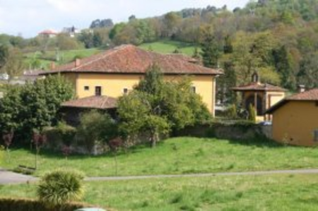
Lieres (or Santa Maria Lieres) is a parish in Siero, a municipality within the province and autonomous community of Asturias, in northern Spain. It encompasses 8.1 km2 (3.1 sq mi) and is situated at an altitude of 242 m (794 ft) above sea level. The population, as of 2006, was 1,542. The postal code is 33580. Its territory includes the Nora River, a tributary of the River Fal-Miravete. Located along the National Highway N-634, Lieres is 8 km (5.0 mi) from the capital of Siero, Pola de Siero, and 5 km (3.1 mi) from the town of Nava, Asturias.The villages within the Lieres parish are split by the N-634 highway. Les Faces, La Pedrera, Solvay, La Fresneda, El Cuitu, El Rebollar, La Cruz, El Acebal (L'Acebal, Espinera), La Cigüeta, El Monte, Los Barracks, The Slash, Campiello (Campiellu, Cotaya), El Pino, La Cabaña, and Faya are on one side, while Quintanal d'Arriba, Quintanal d'Abaxu, The Court, The Ventuca The Moldano, Sacadiella, Sorrobín, La Cuesta, El Recuncu, Piñuli, and Curuxeu the Cubiella are on the other. The Lieres to Novalín rail line was formally opened November 13, 1891. With the later closure of mines, Lieres' small line rail, linking its mine with Reano, fell into disuse. The railroad was renovated in more recent years.
Excerpt from the Wikipedia article Lieres (License: CC BY-SA 3.0, Authors, Images).Lieres
Siero
Geographical coordinates (GPS) Address Nearby Places Show on map
Geographical coordinates (GPS)
| Latitude | Longitude |
|---|---|
| N 43.3833 ° | E -5.5667 ° |
Address
33580 Siero
Asturias, Spain
Open on Google Maps


