Pullens Lane
1930 establishments in EnglandOxford Brookes UniversityStreets in OxfordUse British English from January 2018

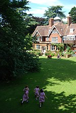
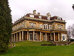
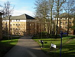
Pullens Lane (a.k.a. Pullen's Lane) is in Headington, east Oxford, England. It is located at the top of Headington Hill, leading north off Headington Road to Jack Straw's Lane and Harberton Mead. The cul-de-sac Pullens Field (a.k.a. Pullen's Field, named in 1972) leads off west from Pullens Lane.
Excerpt from the Wikipedia article Pullens Lane (License: CC BY-SA 3.0, Authors, Images).Pullens Lane
Pullens Lane, Oxford Headington
Geographical coordinates (GPS) Address Nearby Places Show on map
Geographical coordinates (GPS)
| Latitude | Longitude |
|---|---|
| N 51.758888888889 ° | E -1.2269444444444 ° |
Address
Pullens Lane
OX3 0DA Oxford, Headington
England, United Kingdom
Open on Google Maps


