Hatfield Heath
Use British English from May 2017UttlesfordVillages in Essex

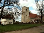
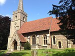
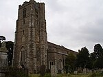
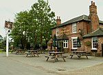
Hatfield Heath is a village, civil parish, and an electoral ward in the Uttlesford district of Essex, England, and at its west is close to the border with Hertfordshire. In close proximity are the towns of Bishop's Stortford and Sawbridgeworth. Stansted Airport is approximately 5 miles (8 km) to the north.
Excerpt from the Wikipedia article Hatfield Heath (License: CC BY-SA 3.0, Authors, Images).Hatfield Heath
A1060, Uttlesford Hatfield Heath
Geographical coordinates (GPS) Address Nearby Places Show on map
Geographical coordinates (GPS)
| Latitude | Longitude |
|---|---|
| N 51.812737 ° | E 0.208804 ° |
Address
A1060
CM22 7EB Uttlesford, Hatfield Heath
England, United Kingdom
Open on Google Maps


