Staufen, Austria
Austria geography stubsBregenz Forest MountainsMountains of VorarlbergMountains of the Alps

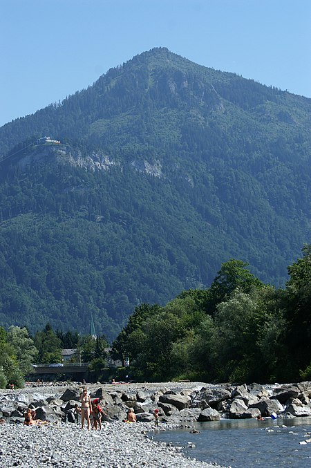
The Staufen is a 1465 metre high mountain in the very western part of Austria. The mountaintop splits the two bordering cities, Dornbirn and Hohenems. The Staufen is connected to the Karren, which belongs to the city of Dornbirn.
Excerpt from the Wikipedia article Staufen, Austria (License: CC BY-SA 3.0, Authors, Images).Staufen, Austria
Wurzelweg,
Geographical coordinates (GPS) Address Nearby Places Show on map
Geographical coordinates (GPS)
| Latitude | Longitude |
|---|---|
| N 47.376102777778 ° | E 9.7544861111111 ° |
Address
Wurzelweg
Wurzelweg
6845
Vorarlberg, Austria
Open on Google Maps


