Thurning, Norfolk
Civil parishes in NorfolkNorth NorfolkUse British English from January 2014Villages in Norfolk

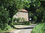
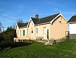
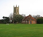
Thurning is a small dispersed village and civil parish in the English county of Norfolk and district of North Norfolk, near the border with Broadland. The population at the 2011 Census remained less than 100 and is recorded together with the neighbouring civil parish of Hindolveston.
Excerpt from the Wikipedia article Thurning, Norfolk (License: CC BY-SA 3.0, Authors, Images).Thurning, Norfolk
Reepham Road, North Norfolk Thurning
Geographical coordinates (GPS) Address Nearby Places Show on map
Geographical coordinates (GPS)
| Latitude | Longitude |
|---|---|
| N 52.82337 ° | E 1.08696 ° |
Address
Reepham Road
Reepham Road
NR20 5QX North Norfolk, Thurning
England, United Kingdom
Open on Google Maps


