Briston
Civil parishes in NorfolkNorth NorfolkVillages in Norfolk

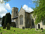
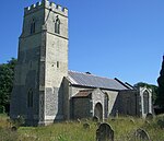
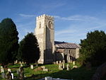
Briston is a village, civil parish and electoral ward in the English county of Norfolk that contains the hamlet of Briston Common. The village is 11 miles (18 km) east north east of the town of Fakenham, 13.3 miles (21.4 km) west south west of Cromer, 20.3 miles (32.7 km) north north west of the city of Norwich, and 125 miles (201 km) north north east of London. The village is situated on the route of the B1354 that runs between the A148 at Thursford and the B1149 at Saxthorpe.
Excerpt from the Wikipedia article Briston (License: CC BY-SA 3.0, Authors, Images).Briston
Holt Road, North Norfolk Briston
Geographical coordinates (GPS) Address Phone number Website Nearby Places Show on map
Geographical coordinates (GPS)
| Latitude | Longitude |
|---|---|
| N 52.8534 ° | E 1.05945 ° |
Address
The Salvation Army - Briston
Holt Road
NR24 2HR North Norfolk, Briston
England, United Kingdom
Open on Google Maps


