Banham, Norfolk
Breckland DistrictCivil parishes in NorfolkOpenDomesdayUse British English from January 2021Villages in Norfolk

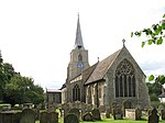
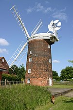
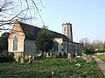
Banham is an English village and civil parish in the county of Norfolk, about 7 miles (11 km) north of Diss, 12 miles (19 km) east of Thetford and 20 miles (32 km) south-west of Norwich. It is home to Banham Zoo, a private collection open to the public for more than 40 years, which houses over 2000 animals. The Church of England parish church, dedicated to St Mary the Virgin, is a Grade I listed building. The name of the village derives from "Bean homestead/village", or perhaps "hemmed-in land where beans grow".
Excerpt from the Wikipedia article Banham, Norfolk (License: CC BY-SA 3.0, Authors, Images).Banham, Norfolk
Apple Close, Breckland District Banham
Geographical coordinates (GPS) Address Nearby Places Show on map
Geographical coordinates (GPS)
| Latitude | Longitude |
|---|---|
| N 52.45091 ° | E 1.03746 ° |
Address
Apple Close
Apple Close
NR16 2HY Breckland District, Banham
England, United Kingdom
Open on Google Maps


