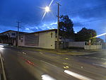
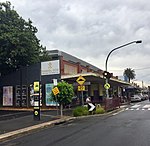
Hughesdale, Victoria
Suburbs of MelbourneSuburbs of the City of MonashUse Australian English from August 2019

Hughesdale is a suburb in Melbourne, Victoria, Australia, 14 km south-east of Melbourne's Central Business District, located within the City of Monash local government area. Hughesdale recorded a population of 7,563 at the 2021 census.Just 2sq km in size, it is the smallest suburb in the City of Monash. Hughesdale is bordered by Poath Road to the west, Dandenong Road to the north, Warrigal Road to the east and North Road to the south. It is named after James Vincent Hughes, former mayor of City of Oakleigh who lobbied heavily for a new station for the area in the mid-1920s.
Excerpt from the Wikipedia article Hughesdale, Victoria (License: CC BY-SA 3.0, Authors, Images).Hughesdale, Victoria
Paddington Road, Melbourne Hughesdale
Geographical coordinates (GPS) Address Nearby Places Show on map
Geographical coordinates (GPS)
| Latitude | Longitude |
|---|---|
| N -37.894 ° | E 145.085 ° |
Address
Paddington Road
Paddington Road
3148 Melbourne, Hughesdale
Victoria, Australia
Open on Google Maps


