Herne, Belgium
Flemish Brabant geography stubsMunicipalities of Flemish BrabantPages with Dutch IPAPages with French IPA
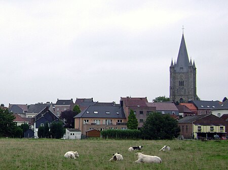
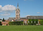
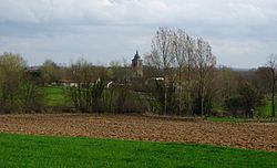
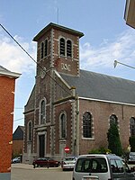
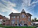
Herne (Dutch pronunciation: [ˈɦɛrnə]; French: Hérinnes, pronounced [eʁin]) is a municipality in the province of Flemish Brabant, in Flanders, one of the three regions of Belgium. It is also situated in the region of the Pajottenland. The municipality comprises the towns of Herfelingen, Herne proper and Sint-Pieters-Kapelle. On January 1, 2006, Herne had a total population of 6,407. The total area is 44.63 km² which gives a population density of 144 inhabitants per km².
Excerpt from the Wikipedia article Herne, Belgium (License: CC BY-SA 3.0, Authors, Images).Herne, Belgium
Hoogbaan,
Geographical coordinates (GPS) Address Nearby Places Show on map
Geographical coordinates (GPS)
| Latitude | Longitude |
|---|---|
| N 50.716666666667 ° | E 4.0333333333333 ° |
Address
Hoogbaan
Hoogbaan
1540 (Herne)
Flemish Brabant, Belgium
Open on Google Maps
