Wedge (border)

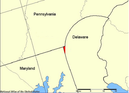
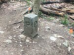
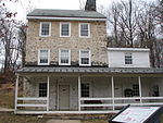
The Wedge (or Delaware Wedge) is a 1.068-square-mile (684-acre; 2.77 km2) tract of land along the borders of Delaware, Maryland and Pennsylvania. Ownership of the land was disputed until 1921; it is now recognized as part of Delaware. The tract was created primarily by the shortcomings of contemporary surveying techniques when the boundaries were defined in the 18th century. It is bounded on the north by an eastern extension of the east–west portion of the Mason–Dixon line, on the west by the north–south portion of the Mason–Dixon line, and on the southeast by the Twelve-Mile Circle around New Castle, Delaware. The crossroads community of Mechanicsville, Delaware, lies within the area today.
Excerpt from the Wikipedia article Wedge (border) (License: CC BY-SA 3.0, Authors, Images).Wedge (border)
Amaranth Drive, Newark
Geographical coordinates (GPS) Address Nearby Places Show on map
Geographical coordinates (GPS)
| Latitude | Longitude |
|---|---|
| N 39.714444444444 ° | E -75.784722222222 ° |
Address
Amaranth Drive 7
19711 Newark
Delaware, United States
Open on Google Maps


