East Flanders
East FlandersNUTS 2 statistical regions of the European UnionPages including recorded pronunciationsPages with Dutch IPAPages with French IPA ... and 2 more
Pages with German IPAProvinces of Flanders

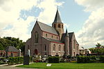
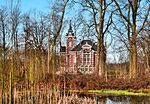
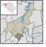
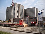
East Flanders (Dutch: Oost-Vlaanderen [ˌoːst ˈflaːndərə(n)] , French: (Province de) Flandre-Orientale [flɑ̃dʁ ɔʁjɑ̃tal], German: Ostflandern [ˈɔstˌflandɐn]) is a province of Belgium. It borders (clockwise from the North) the Dutch province of Zeeland and the Flemish province of Antwerp, Flemish Brabant, Hainaut and West Flanders. It has an area of 3,007 km2 (1,161 sq mi), divided into six administrative districts containing 60 municipalities, and a population of 1,515,064 as of January 2019. The capital is Ghent, home to the Ghent University and the Port of Ghent.
Excerpt from the Wikipedia article East Flanders (License: CC BY-SA 3.0, Authors, Images).East Flanders
Hundelgemsesteenweg,
Geographical coordinates (GPS) Address Nearby Places Show on map
Geographical coordinates (GPS)
| Latitude | Longitude |
|---|---|
| N 51 ° | E 3.75 ° |
Address
Hundelgemsesteenweg
Hundelgemsesteenweg
9820 (Merelbeke)
East Flanders, Belgium
Open on Google Maps


