Cadair Idris
AbergynolwynArthogDolgellauHewitts of WalesLandmarks in Wales ... and 8 more
Llanfihangel-y-PennantMarilyns of WalesMountains and hills of GwyneddMountains and hills of SnowdoniaNational nature reserves in WalesNuttallsPages with Gutenberg book template using bulletSites of Special Scientific Interest in East Gwynedd

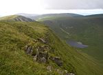
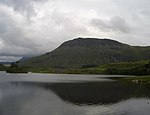
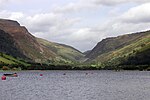
Cadair Idris or Cader Idris is a mountain in the Meirionnydd area of Gwynedd, Wales. It lies at the southern end of the Snowdonia National Park near the town of Dolgellau. The peak, which is one of the most popular in Wales for walkers and hikers, is composed largely of Ordovician igneous rocks, with classic glacial erosion features such as cwms, moraines, striated rocks, and roches moutonnées.
Excerpt from the Wikipedia article Cadair Idris (License: CC BY-SA 3.0, Authors, Images).Cadair Idris
Pony Path,
Geographical coordinates (GPS) Address Nearby Places Show on map
Geographical coordinates (GPS)
| Latitude | Longitude |
|---|---|
| N 52.699828 ° | E -3.908693 ° |
Address
Pony Path
LL40 1TN , Arthog
Wales, United Kingdom
Open on Google Maps


