Gau Graig
DolgellauHewitts of WalesLlanfihangel-y-PennantMountains and hills of GwyneddMountains and hills of Snowdonia ... and 1 more
Nuttalls

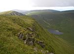
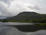
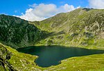
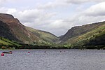
Gau Graig is a subsidiary summit of Cadair Idris in the Snowdonia National Park, in Gwynedd, northwest Wales. It lies to the east of Mynydd Moel on a broad grassy plateau. It marks the eastern end of the Cadair Idris ridge. The summit is marked by a cairn. To the north are Y Garn and Diffwys, to the west Rhobell Fawr and Aran Fawddwy and to the south are Waun-oer and Cribin Fawr.
Excerpt from the Wikipedia article Gau Graig (License: CC BY-SA 3.0, Authors, Images).Gau Graig
Pony Path,
Geographical coordinates (GPS) Address Nearby Places Show on map
Geographical coordinates (GPS)
| Latitude | Longitude |
|---|---|
| N 52.699428 ° | E -3.907032 ° |
Address
Pony Path
LL40 1TN , Arthog
Wales, United Kingdom
Open on Google Maps


