Cyfrwy
ArthogClimbing areas of WalesHewitts of WalesLlanfihangel-y-PennantMountains and hills of Gwynedd ... and 2 more
Mountains and hills of SnowdoniaNuttalls
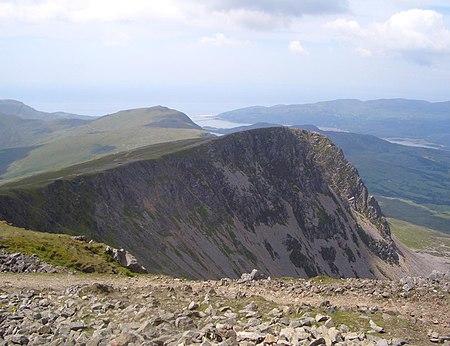
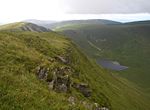
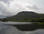
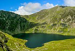
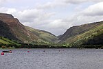
Cyfrwy is a subsidiary summit of Cadair Idris in the Snowdonia National Park, in Gwynedd, northwest Wales. It lies to the west of Cadair Idris and is often climbed with Cadair Idris by taking the Pony Path. The summit is bare and rocky and marked with a cairn. The north and east face has large cliffs. A rock climb/extreme scramble known as the Cyfrwy Arete is found here. This arete is very steep and rope and rock climbing skills will be needed. To the west is Tyrrau Mawr and Craig-y-llyn, while to the south is Craig Cwm Amarch.
Excerpt from the Wikipedia article Cyfrwy (License: CC BY-SA 3.0, Authors, Images).Cyfrwy
Pony Path,
Geographical coordinates (GPS) Address Nearby Places Show on map
Geographical coordinates (GPS)
| Latitude | Longitude |
|---|---|
| N 52.699428 ° | E -3.907032 ° |
Address
Pony Path
LL40 1TN , Arthog
Wales, United Kingdom
Open on Google Maps

