Lower South Providence, Providence, Rhode Island
African-American history of Rhode IslandNeighborhoods in Providence, Rhode IslandPopulated places established in 1754

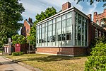
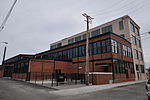
The Lower South Side (or Lower South Providence) is a neighborhood in the southern part of Providence, Rhode Island. It is bounded by Public Street to the north (bordering Upper South Providence), by Interstate 95 to the south (bordering Washington Park), by Broad Street to the west (bordering Elmwood), and by the Providence River to the east.
Excerpt from the Wikipedia article Lower South Providence, Providence, Rhode Island (License: CC BY-SA 3.0, Authors, Images).Lower South Providence, Providence, Rhode Island
Ashmont Street, Providence
Geographical coordinates (GPS) Address Nearby Places Show on map
Geographical coordinates (GPS)
| Latitude | Longitude |
|---|---|
| N 41.802 ° | E -71.409 ° |
Address
Ashmont Street 81
02905 Providence
Rhode Island, United States
Open on Google Maps


