Wybunbury

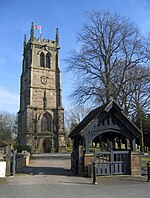
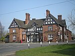
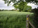
Wybunbury is a village (at SJ698499) and civil parish in the unitary authority of Cheshire East and the ceremonial county of Cheshire, England. The village lies 3¼ miles to the south east of Nantwich and 3¾ miles to the south of Crewe. The parish also includes the settlements of Clannor Heath, Daisy Hill, The Flag, Pinfold and parts of Blakelow, Haymoor Green and Howbeck Bank. Nearby villages include Hough, Shavington, Stapeley and Walgherton. The A51 runs east–west through the south-western corner of the parish. According to the 2001 census, the parish had a population of 1,474, reducing to 1,459 at the 2011 Census.Wybunbury was listed in the Domesday Book as Wimeberie is pronounced "Wimbry" or "Winbry".
Excerpt from the Wikipedia article Wybunbury (License: CC BY-SA 3.0, Authors, Images).Wybunbury
Churchfields,
Geographical coordinates (GPS) Address Nearby Places Show on map
Geographical coordinates (GPS)
| Latitude | Longitude |
|---|---|
| N 53.045 ° | E -2.45 ° |
Address
Churchfields
Churchfields
CW5 7LL , Wybunbury
England, United Kingdom
Open on Google Maps


