Shavington cum Gresty
Borough of Cheshire EastCivil parishes in CheshireEngvarB from July 2016

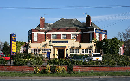
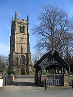
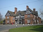
Shavington cum Gresty () is a civil parish in the unitary authority of Cheshire East and the ceremonial county of Cheshire, England. It lies to the south of Crewe. It includes the large village of Shavington (at SJ699518), which lies 2+1⁄2 miles south of Crewe, as well as the smaller settlements of Dodds Bank, Park Estate, Puseydale, Sugar Loaf and part of Goodall's Corner. Nearby villages include Basford, Hough, Willaston, Wistaston and Wybunbury. The total population of the civil parish is a little under 5,000.
Excerpt from the Wikipedia article Shavington cum Gresty (License: CC BY-SA 3.0, Authors, Images).Shavington cum Gresty
Barons Road,
Geographical coordinates (GPS) Address Nearby Places Show on map
Geographical coordinates (GPS)
| Latitude | Longitude |
|---|---|
| N 53.061111111111 ° | E -2.45 ° |
Address
Barons Road
Barons Road
CW2 5ER , Shavington cum Gresty
England, United Kingdom
Open on Google Maps


