Lea, Cheshire
Borough of Cheshire EastFormer civil parishes in CheshireVillages in Cheshire

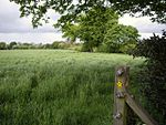
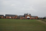
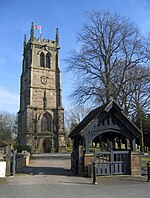
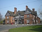
Lea is a former civil parish, now in the parish of Doddington and District, in the unitary authority area of Cheshire East and the ceremonial county of Cheshire, England, which lies to the north east of Audlem and to the south of Crewe. The parish was predominantly rural, but it includes the hamlet of Lea Forge (at SJ707486). Nearby villages include Betley, Blakenhall, Hough, Walgherton and Wybunbury. According to the 2001 census, it had a population of 25. At the time of the 2011 Census the population remained less than 100. Details are included in the civil parish of Blakenhall, Cheshire.
Excerpt from the Wikipedia article Lea, Cheshire (License: CC BY-SA 3.0, Authors, Images).Lea, Cheshire
Wrinehill Road,
Geographical coordinates (GPS) Address Nearby Places Show on map
Geographical coordinates (GPS)
| Latitude | Longitude |
|---|---|
| N 53.035 ° | E -2.426 ° |
Address
Wrinehill Road (Den Lane)
Wrinehill Road
CW5 7NR , Doddington and District
England, United Kingdom
Open on Google Maps


