place

Epsom, New Hampshire

Epsom, New HampshireTowns in Merrimack County, New HampshireTowns in New HampshireUse mdy dates from July 2023
EpsomNH TownHall
EpsomNH TownHall

Epsom is a town in Merrimack County, New Hampshire, United States. The population was 4,834 at the 2020 census.

Excerpt from the Wikipedia article Epsom, New Hampshire (License: CC BY-SA 3.0, Authors, Images).

Epsom, New Hampshire
Dover Road,

Geographical coordinates (GPS) Address Nearby Places
placeShow on map

Wikipedia: Epsom, New HampshireContinue reading on Wikipedia

Geographical coordinates (GPS)

Latitude Longitude
N 43.2225 ° E -71.3325 °
placeShow on map

Address

Dover Road 1583
03234
New Hampshire, United States
mapOpen on Google Maps

EpsomNH TownHall
EpsomNH TownHall
Share experience

Nearby Places

Pineground Bridge
Pineground Bridge

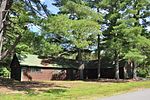
The Pineground Bridge, also known as the Depot Road Bridge or the Thunder Bridge, is a through-type lenticular truss bridge that formerly carried Depot Road over the Suncook River in Chichester, New Hampshire. The bridge was built in 1887 by the Berlin Iron Bridge Co., and is the only one of its type (and only one of for lenticular truss bridges of any type, as of 2004) in the state. It is 96 feet (29 m) long and 16 feet (4.9 m) wide, and rises 15 feet (4.6 m) above the river. It is mounted on abutments made of unmortared ashlar granite. The decking and rails are made of wood. The bridge has not undergone major alterations since its construction. Some of its stringers were replaced during the 1981-2 restoration, wooden parts were also replaced, and a number of decorative parts have been lost over the years.The bridge was built on the site of earlier bridges that gave access to the "pine ground", an area with a large number of pine trees, and the eventual site of a saw mill. When the railroad arrived in the area in the late 1860s, Depot Road was run across the bridge to connect the town to the station. The previous bridge, in bad condition even before the arrival of the railroad, was probably subjected to heavier traffic afterward, and the town decided to replace it in 1887. The bridge was closed to vehicular traffic in 1978 and restored for pedestrian, bicycle, and snowmobile use in 1981-2.The bridge was listed on the National Register of Historic Places in 2004.
Pittsfield Center Historic District

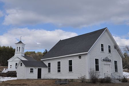
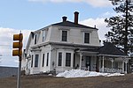
The Pittsfield Center Historic District encompasses the civic and commercial heart of Pittsfield, New Hampshire. This area is defined by a roughly square bend in the Suncook River, whose power provided an impetus for the development of the town in the 19th century. The dominant feature of the district is the 1827 Joy Cotton Mill, a four-story brick building at the base of Main Street. There are three churches, including the 1863 Gothic Revival St. Stephen's Episcopal Church, and the town office building, a significantly altered 1789 meeting house. The district also includes the main commercial district and some of the surrounding residential areas. It was listed on the National Register of Historic Places in 1980.Pittsfield was settled in 1770, when John Cram erected a sawmill on the Suncook River and built his house, now part of the Washington House at the central Washington Square. The first meeting house was built in 1789, roughly midway between his house and mill, the route between these points defining what is now Main Street. Taverns were built near the meeting house soon afterward, creating the nucleus of a town center. In the 19th century, the river's water power was harnessed for use by textile mills, resulting in the construction of both mills and mill worker housing. One boarding house, built in 1827 for single women who worked in an early textile mill, is among the oldest buildings of its type in the state. The arrival of the railroad in 1869 spurred another development boom, in which the shoe industry took hold.