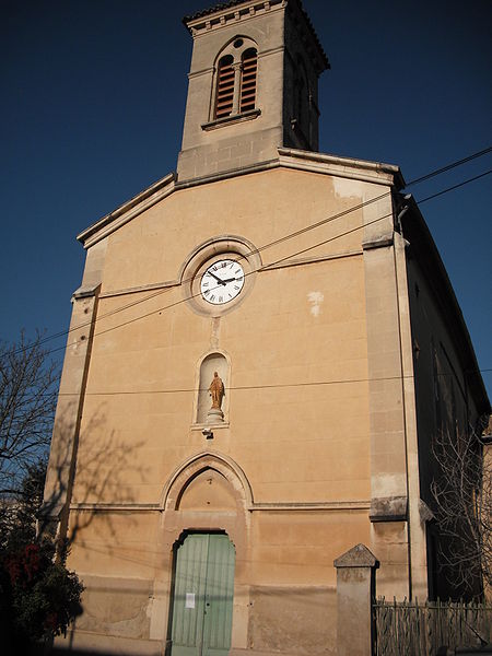
Luynes, Bouches-du-Rhône
Aix-en-ProvenceBouches-du-Rhône geography stubsVillages in Provence-Alpes-Côte d'Azur

Luynes (French: [lɥin]) is a village of the Bouches-du-Rhône département in southern France. It is located 4 km south of Aix-en-Provence at the intersection of the D7 and N8 roads. The village is perhaps best known for its prison and for its three international schools. The Nécropole Nationale de Luynes is also located nearby. Luynes is bordered by the Massif du Montaiguet, which expands to Gardanne and Aix en Provence. It comprises chalky plateaux bordered by cliffs, forests of pines and oaks, and crops areas. In 1979 and 2005 the area was devastated by bush fires. Following these incidents, garrigue is now covering a wide area.
Excerpt from the Wikipedia article Luynes, Bouches-du-Rhône (License: CC BY-SA 3.0, Authors, Images).Luynes, Bouches-du-Rhône
Place de la Libération, Aix-en-Provence Luynes
Geographical coordinates (GPS) Address Nearby Places Show on map
Geographical coordinates (GPS)
| Latitude | Longitude |
|---|---|
| N 43.485 ° | E 5.4186111111111 ° |
Address
Place de la Libération 27
13080 Aix-en-Provence, Luynes
Provence-Alpes-Côte d'Azur, France
Open on Google Maps


