West Maas en Waal
Gelderland geography stubsMunicipalities of GelderlandWest Maas en Waal

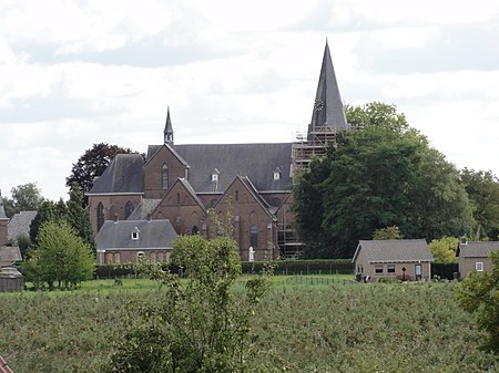
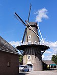
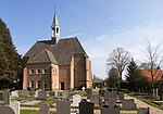
West Maas en Waal (Dutch pronunciation: [ʋɛst ˈmaːs ɛn ˈʋaːl] (listen)) is a municipality in the Dutch province of Gelderland. The municipality covers the western part of the Land van Maas en Waal, an island located between the Meuse and Waal rivers.
Excerpt from the Wikipedia article West Maas en Waal (License: CC BY-SA 3.0, Authors, Images).West Maas en Waal
Pastoor Jansstraat, West Maas en Waal
Geographical coordinates (GPS) Address Nearby Places Show on map
Geographical coordinates (GPS)
| Latitude | Longitude |
|---|---|
| N 51.883333333333 ° | E 5.5166666666667 ° |
Address
Pastoor Jansstraat 5
6658 AZ West Maas en Waal
Gelderland, Netherlands
Open on Google Maps


