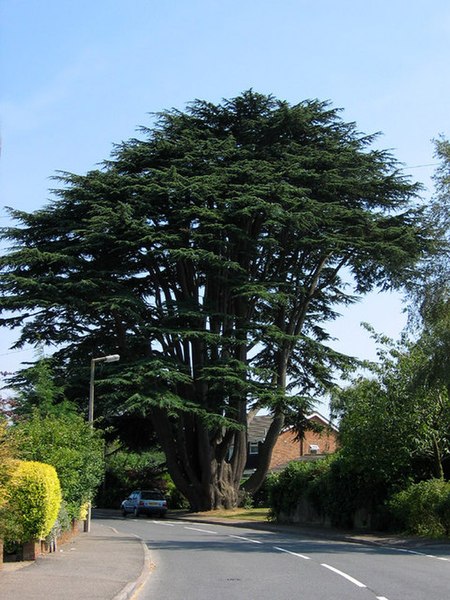
Aperfield
Areas of LondonDistricts of the London Borough of BromleyHamlets in the London Borough of BromleyLondon geography stubsUse British English from August 2015

Aperfield is a hamlet and area in London, England, within the London Borough of Bromley, 16.2 miles (26 km) south-southeast of Charing Cross. It is near Biggin Hill and Berry's Green. The name has its first recorded use in 1242 as Apeldrefeld and means field where apple trees grow, from the Old English words apuldor and feld.
Excerpt from the Wikipedia article Aperfield (License: CC BY-SA 3.0, Authors, Images).Aperfield
Main Road, London
Geographical coordinates (GPS) Address Nearby Places Show on map
Geographical coordinates (GPS)
| Latitude | Longitude |
|---|---|
| N 51.3069 ° | E 0.0448 ° |
Address
St Winifred's Road
Main Road
TN16 3JJ London (London Borough of Bromley)
England, United Kingdom
Open on Google Maps


