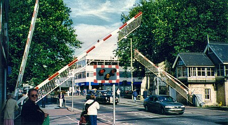
High Street, Lincoln

High Street in Lincoln, England extends from the St Catherine's roundabout and ends approximately 1.2 miles further north at The Strait. The historic High Street has evolved through many changes over its 2000 year history, encompassing Roman roads and settlement, medieval buildings, markets, places of worship, civic buildings, bridges, the arrival of the railways and heavy industry. The greatest concentration of listed buildings is north of the railway station in the pedestrianised area where most of the city's commercial, retail and cultural areas are located. South of the railway station there are fewer listed buildings the street is a busy urban road numbered the B1262.
Excerpt from the Wikipedia article High Street, Lincoln (License: CC BY-SA 3.0, Authors, Images).High Street, Lincoln
High Street, Lincoln New Boultham
Geographical coordinates (GPS) Address Nearby Places Show on map
Geographical coordinates (GPS)
| Latitude | Longitude |
|---|---|
| N 53.226797 ° | E -0.541486 ° |
Address
Treaty of Commerce
High Street 173
LN5 7AF Lincoln, New Boultham
England, United Kingdom
Open on Google Maps


