Piz Scerscen

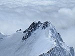
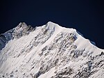
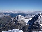
Piz Scerscen (Romansh, Italian: Monte Scerscen, formerly Monte Rosso di Scerscen), culminating at 3,971 m above sea level, is one of the highest peaks in the Bernina Range, straddling the border between Switzerland and Italy. It is a satellite peak of Piz Bernina, joining it by its north-east ridge via a 3,882 m pass. Its name means 'the circular mountain' ('Scerscen' is pronounced cherchen). The mountain has a prominent secondary summit called the Schneehaube (3,875 m). The first ascent of Piz Scerscen was by Paul Güssfeldt, Hans Grass and Caspar Capat on 13 September 1877 via the north-west spur, descending the same way. This is the well-known Eisnase route, involving a 100-metre ice pitch of between 60 and 70°, although its precise length and steepness are debated.[1] This was the route followed by Walter Risch on the first solo ascent of the mountain in 1924. The first ascent of the north-west face was by Christian Klucker and L. Norman-Neruda on 9 July 1890.
Excerpt from the Wikipedia article Piz Scerscen (License: CC BY-SA 3.0, Authors, Images).Piz Scerscen
Comunità montana della Valtellina di Sondrio
Geographical coordinates (GPS) Address Nearby Places Show on map
Geographical coordinates (GPS)
| Latitude | Longitude |
|---|---|
| N 46.37825 ° | E 9.9005833333333 ° |
Address
Canalone di Crast'Agüzza
23020 Comunità montana della Valtellina di Sondrio
Lombardy, Italy
Open on Google Maps


