Lockleaze

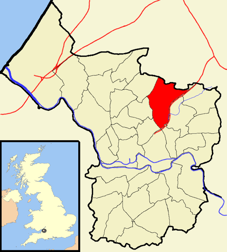
Lockleaze is an area and council ward in the northern suburbs of the city of Bristol, England, 3 miles (5 km) north of the city centre, south of Filton, east of Horfield and west of Frenchay. Lockleaze is a residential area of social housing built on the western flank of Purdown on a north–south axis, that was initially separated from Horfield by the main Bristol to South Wales railway line. The suburb was developed immediately after World War II. Although much of the housing was owned by Bristol Corporation, some are now privately owned. The Lockleaze council ward was extended to include older Bristol council housing and the border with Horfield is the thoroughfare, Filton Avenue. Lockleaze School was designed by the city architect A.H. Clarke and built in 1954. It is an early example of 'Method Building' using pre-cast frame with pre-stressed floors and brick panel walling. The school closed in July 2004. St Mary's Church dates from 1956 by T.H.B. Burrough.A microwave transmission tower, Purdown BT Tower, is located at Lockleaze and is known locally as the "Cups and Saucers". The distinctive tower, built in 1970, can be seen from many miles away. During World War II, an anti-aircraft gun emplacement, known locally as Purdown Purcy, was located on the down, the ruins of which remain today.
Excerpt from the Wikipedia article Lockleaze (License: CC BY-SA 3.0, Authors, Images).Lockleaze
Romney Avenue, Bristol Lockleaze
Geographical coordinates (GPS) Address Nearby Places Show on map
Geographical coordinates (GPS)
| Latitude | Longitude |
|---|---|
| N 51.4901 ° | E -2.5608 ° |
Address
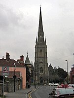
St James Church
Romney Avenue
BS7 9TA Bristol, Lockleaze
England, United Kingdom
Open on Google Maps


