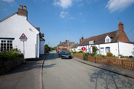
Hopwas
AC with 0 elementsForests and woodlands of StaffordshireLichfield DistrictStaffordshire geography stubsVillages in Staffordshire

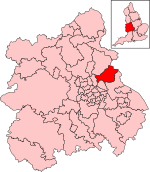
Hopwas is a village in Staffordshire, England. It lies along the North West borders of Tamworth Borough (along the River Tame to the east and Dunstall Lane to the south of Hopwas) and 5 miles (8 km) east of Lichfield. It is situated where the A51 road crosses both the River Tame and the Coventry Canal. Although adjacent to the Borough of Tamworth, the village is part of the parish of Wigginton and Hopwas within Lichfield District.
Excerpt from the Wikipedia article Hopwas (License: CC BY-SA 3.0, Authors, Images).Hopwas
Hopwas Hill, Lichfield Wigginton and Hopwas
Geographical coordinates (GPS) Address Nearby Places Show on map
Geographical coordinates (GPS)
| Latitude | Longitude |
|---|---|
| N 52.642 ° | E -1.739 ° |
Address
Hopwas Playing Field
Hopwas Hill
B78 3AQ Lichfield, Wigginton and Hopwas
England, United Kingdom
Open on Google Maps


