Clayton, West Sussex
AC with 0 elementsMid Sussex DistrictUse British English from January 2015Villages in West Sussex

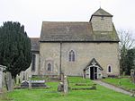
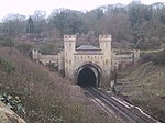
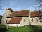
Clayton is a small village at the foot of the South Downs in the parish of Hassocks, West Sussex, England. It lies 41 miles (66 km) south of London, 6 miles (10 km) north of Brighton, and 28 miles (45 km) east northeast of the county town of Chichester. Other nearby towns include Burgess Hill to the north and Lewes, the county town of East Sussex east southeast. The Clayton Windmills, known as "Jack and Jill" sit on the hill above the village.
Excerpt from the Wikipedia article Clayton, West Sussex (License: CC BY-SA 3.0, Authors, Images).Clayton, West Sussex
Underhill Lane, Mid Sussex District
Geographical coordinates (GPS) Address Nearby Places Show on map
Geographical coordinates (GPS)
| Latitude | Longitude |
|---|---|
| N 50.91041 ° | E -0.15173 ° |
Address
Clayton Green
Underhill Lane
BN6 9PJ Mid Sussex District
England, United Kingdom
Open on Google Maps


