Pyecombe
AC with 0 elementsCivil parishes in West SussexMid Sussex DistrictUse British English from January 2020Villages in West Sussex

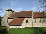
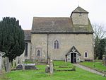
Pyecombe is a village and civil parish in the Mid Sussex District of West Sussex, England. The name 'Pyecombe' may derive from the Saxon "pic" meaning point or pike, in which case it may mean "valley marked by a projecting hill".Pyecombe is located 7 miles (11 km) to the north of Brighton. The civil parish covers an area of 887 hectares (2,190 acres) and has a population of 200 (2001 census), increasing at the 2011 Census to a population of 237.The parish lies wholly with the South Downs National Park. The planning authority for Pyecombe is the South Downs National Park Authority (SDNPA), the statutory planning authority for the National Park area.
Excerpt from the Wikipedia article Pyecombe (License: CC BY-SA 3.0, Authors, Images).Pyecombe
Church Hill, Mid Sussex District Pyecombe
Geographical coordinates (GPS) Address Nearby Places Show on map
Geographical coordinates (GPS)
| Latitude | Longitude |
|---|---|
| N 50.89883 ° | E -0.16394 ° |
Address
Church of the Transfiguration
Church Hill
BN45 7FR Mid Sussex District, Pyecombe
England, United Kingdom
Open on Google Maps


